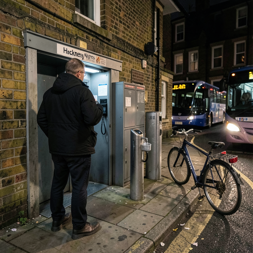

Hackney Council has introduced a digital map designed to assist people navigating the borough after dark.
It identifies nearby public toilets, drinking-water points, phone-charging facilities and transport options, including live bus routes and cycling paths for journeys home.
Developed by Igloo under the Hackney Nights initiative, the map also lists music venues, late-night bars and cultural spaces.
Information on opening times, available support and wheelchair access is provided, while location-based features show users which facilities and services are close by.
Access is available through QR codes placed in venue windows and on keyrings distributed across Hackney.
All listed venues hold council accreditation under Hackney Nights and are required to meet standards intended to promote safer and more inclusive nightlife.
The initiative forms part of the council’s wider effort to support a thriving night-time economy while ensuring that people can access help and feel protected.
Since Hackney Nights was established in 2019, the council has provided safeguarding training to 4,400 staff working at nightlife venues throughout the borough.
Hackney Council also plans to change its approach to licensing, planning and noise management during the next year.
In addition, it is preparing a Cultural Strategy that will cover nightlife and back social and cultural spaces.
Cllr Sam Mathys, the council cabinet member for culture, leisure, nightlife and business regulation, described Hackney as a leading nightlife destination in London and an important place for people to find community.
The new map is expected to support people using the area’s nightlife, while future policy work is intended to help those spaces continue to thrive.